Description of the Chicago DistrictBy William C. Alden"The 1902 Chicago Folio, containing economic, aereal and topographic maps." | |
|---|---|
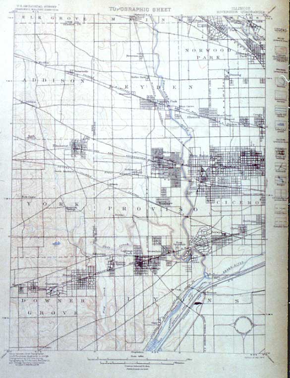
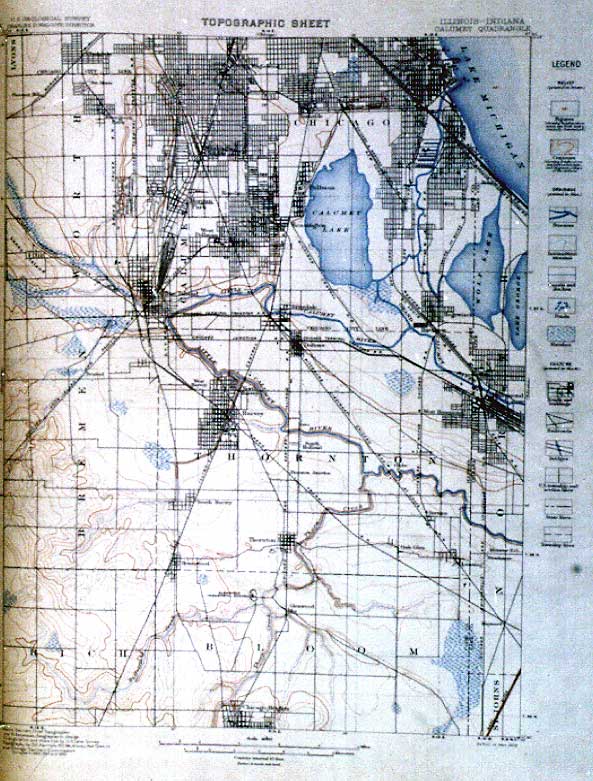
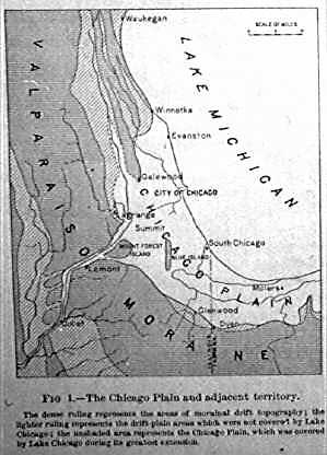
| This publication is a long out-of-print folio volume about the size of a folded newspaper with the first color topographical maps of the Chicago area. These old maps show older forks of the Chicago River and man-made slips, the former lakeshore of Chicago before implementation of the Burnham Plan.
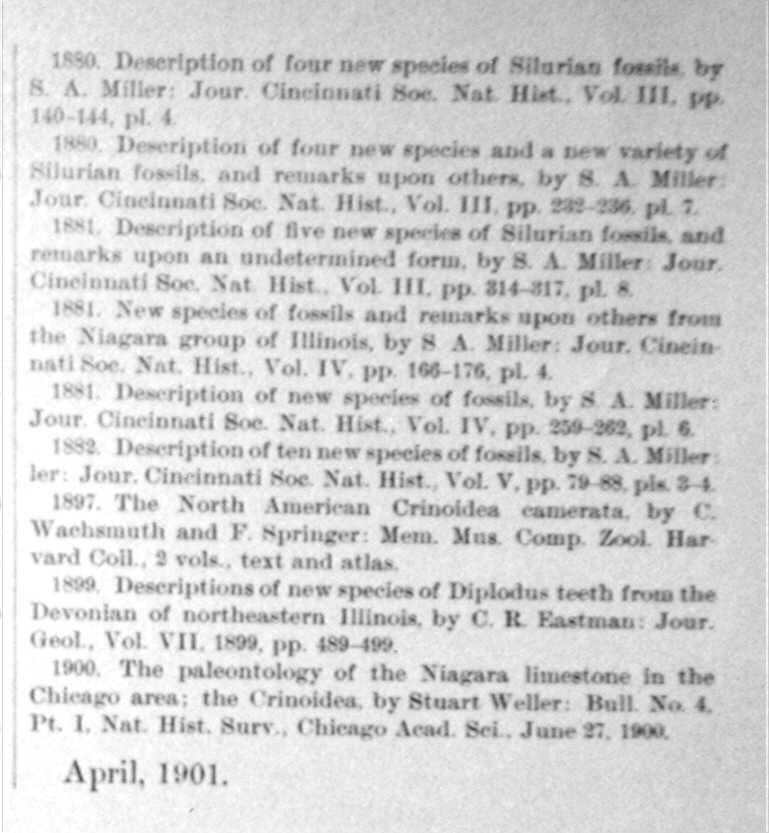
The illustrations which accompany the text are very yellowed and faint; the maps have survived marginally better. Additional visual material is provided to assist the modern reader. This typescript follows the format of the original as much as possible. Note that in 1902 the Ordovician and Silurian were still considered one. Comments by the transcriber and words to assist the general reader are in [brackets]. This page was first posted in January 2001 on the Northeastern Illinois University server and was moved by the transcriber to this site in June 2001. This typescript has been proofread for more than one year, but as with all electronic publications, errors may be introduced in transmission. Please send notes on any typos or errors you find as well as comments by email. All 14 pages in the Folio have been transcribed. They have been divided into six sections:
Special thanks to
| |
|
Visit my Homepage
Ellin Beltz / ebeltz@ebeltz.net
August 2, 2004
|